Mountains North of Tombstone
Introduction
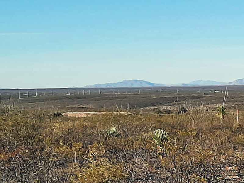
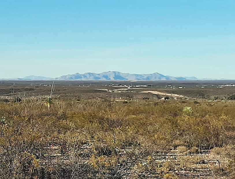
Guests often ask about the mountains they can see when from the Schieffelin Monument overlook near the city cemetery. The following map shows all of the visible mountain ranges and an approximate distance to each.
Views
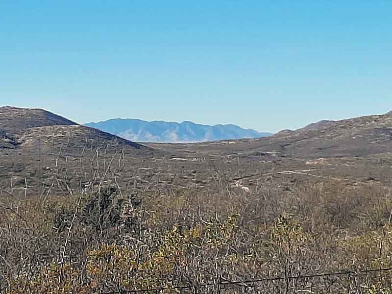
West: The Huachuca Mountains, about 20 miles. This is where Sierra Vista and Fort Huachuca are located. Fort Huachuca was established in those mountains in February 1877, a direct response to Apache hostilities after the nearby Chiricahua Reservation closed. The fort's presence made it possible for prospectors to operate in the region — Ed Schieffelin joined a company of Army scouts near Fort Huachuca when he began his prospecting, and soldiers repeatedly warned him he would find only "his tombstone" in Apache country.
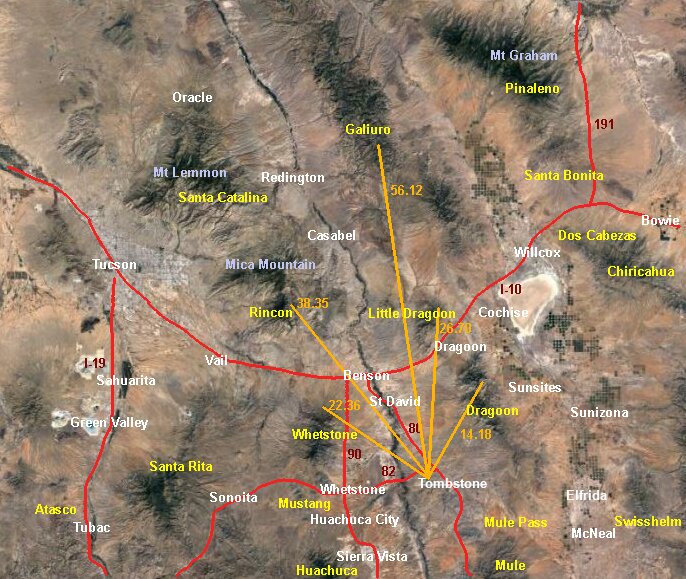
Northwest: The Whetstone Mountains, about 25 miles. Kartchner Caverns State Park and Benson are at the right end of this range.
Northwest: The Rincon Mountains, about 40 miles. Tucson is on the other side of this range.
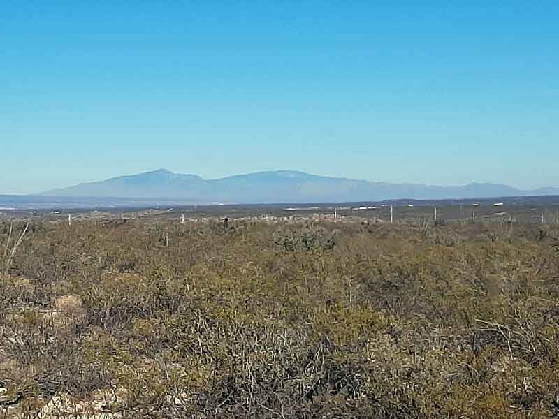
North: The Galiuro Mountains, about 60 miles. This barely visible range rises over 7000 feet and is a popular hiking area.
North: The Little Dragoon Mountains, about 30 miles. This range is just north of I-10 near Texas Canyon.
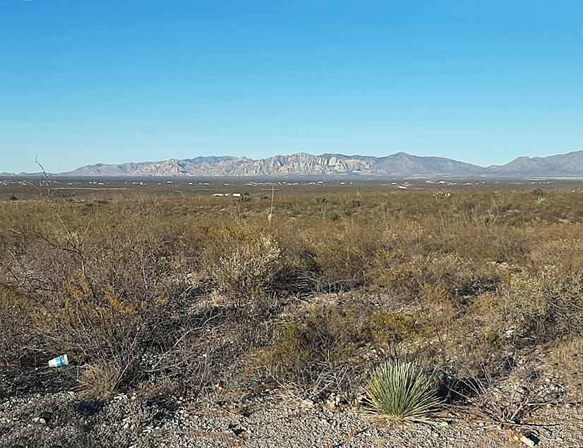
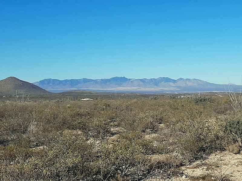
East: The Dragoon Mountains, about 15 miles. These are the beautiful rugged mountains clearly visible from all over Tombstone. The Dragoons were the stronghold territory of Cochise and his cokanén Apache band. Cochise Stronghold, in the rocky heart of this range, was his principal refuge during the decade-long guerrilla campaign that followed the Bascom Affair of 1861. Cochise died on June 8, 1874, and was buried secretly in the Dragoons; the precise location has never been confirmed. The Chiricahua Reservation, which encompassed most of what became Cochise County, closed in 1876 — one year before Schieffelin arrived to prospect. On a more practical level, the Dragoon Mountains also supplied most of Tombstone's firewood for both mining machinery and households.
Sources
- "Chiricahua Apache Homeland in the Borderland Southwest" (Arreola 2012), The Geographical Review, vol. 102, no. 1. Source for Cochise Stronghold as principal refuge and burial site, and cokanén territorial association with the Dragoon Mountains.
- "Cochise County: Cultures in Conflict" (Mills 1982), The Cochise Quarterly, vol. 12, nos. 3–4. Source for Cochise's death date (June 8, 1874), the Chiricahua Reservation closure (1876) as an Interior Department economy decision, and Fort Huachuca's founding (February 1877) in response to renewed Apache hostilities.
- T. E. Farish, Southeastern Arizona: Its Varied Climate and Wonderful Resources (1889). Source for the Dragoon Mountains as Tombstone's primary firewood supply.
Location
The following map shows the "new" part of the Tombstone City Cemetery at the north end of Allen Street (the tree-lined loop below Allen Street). The Schieffelin Monument overlook, where the photos on this page were taken, is the small gravel turnout just west of Lonely Lane.